Winter Weather (December to February)
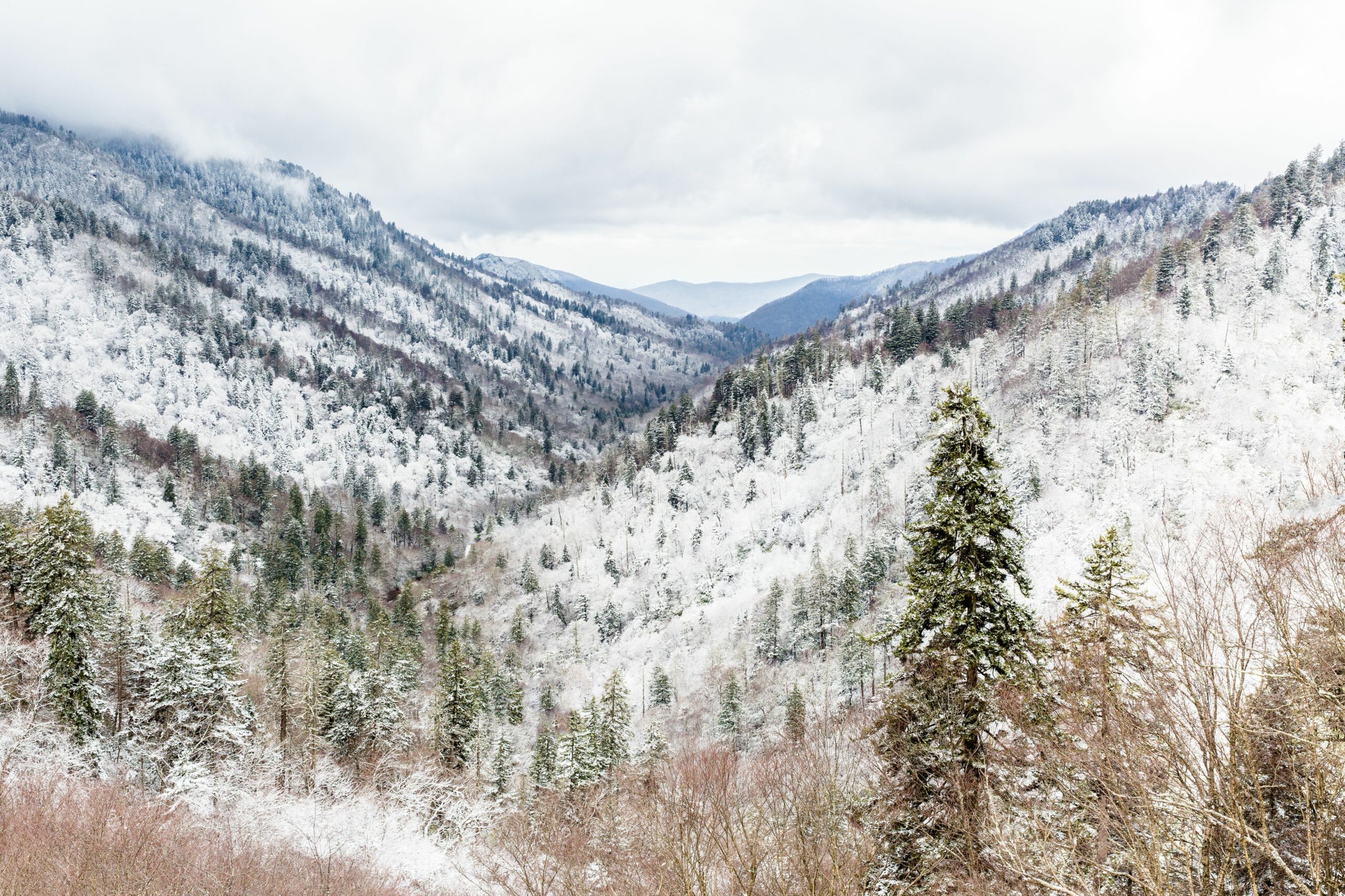
Snowfall and Freeze Events
- Tennessee experiences winter weather from December to February, with temperatures often fluctuating between mild and cold.
- The state’s proximity to the Appalachian Mountains can lead to varying snowfall totals across different regions, with higher elevations typically receiving more significant amounts of precipitation.
- In general, Middle Tennessee tends to receive less snow than East Tennessee, which is closer to the mountains.
- Freeze events are common during this period, particularly in February when temperatures can drop below freezing for extended periods.
- The average temperature in December ranges from 32°F (0°C) in the mornings to 45°F (7°C) in the afternoons, with an average snowfall of around 2-3 inches (5-7.5 cm) across the state.
- January is typically the coldest month, with temperatures averaging 29°F (-2°C) in the mornings and 41°F (5°C) in the afternoons, resulting in an average snowfall of approximately 2-4 inches (5-10 cm).
- February’s temperatures range from 28°F (-2°C) in the mornings to 44°F (7°C) in the afternoons, with an average snowfall of around 1-2 inches (2.5-5 cm).
- Winter storms can bring significant amounts of snow and ice to Tennessee, potentially disrupting daily life and causing hazardous road conditions.
- Residents should stay informed about weather forecasts and winter weather alerts issued by the National Weather Service to prepare for potential events.
- Frozen precipitation events can occur when a low-pressure system develops over cold air, leading to freezing rain or freezing drizzle in some areas while producing significant snowfall in others.
- The severity of these events depends on factors such as the temperature profile, moisture content, and wind direction within the atmosphere.
Tennessee experiences a moderate climate, with winter temperatures averaging in the 40s and 50s Fahrenheit. However, it’s not uncommon for the state to receive significant snowfall during the winter months. The University of Tennessee notes that December is typically the wettest month in the state.
Winter Weather in Tennessee, which spans from December to February, brings a mix of mild and cold temperatures, with an average temperature range of 40s and 50s Fahrenheit. While the state’s climate is generally considered moderate, it can experience significant snowfall during this time period.
Tennessee typically receives most of its annual rainfall in December, which is also the wettest month for the state. This month often brings a significant amount of precipitation, leading to potential flash flooding and other hazardous weather conditions.
Snowfall can be unpredictable in Tennessee during winter months, with some areas receiving heavy snowfall while others remain relatively dry. The state’s mountains tend to receive more snow than the surrounding regions, but it’s not uncommon for cities like Nashville and Knoxville to experience significant snowfall as well.
The University of Tennessee notes that December is typically the wettest month in the state due to a combination of low-pressure systems and moisture-laden air from the Gulf of Mexico. This can lead to a higher risk of flash flooding, especially in urban areas with poor drainage.
During the winter months, Tennessee residents should be prepared for freezing temperatures, potential power outages, and hazardous road conditions. It’s essential to stay informed about local weather forecasts and take necessary precautions when traveling or engaging in outdoor activities.
Overall, while Tennessee’s winter weather can be unpredictable, understanding the state’s typical climate patterns and being prepared for potential hazards can help ensure a safe and enjoyable experience during this time of year.
Frost and Freeze Events
The winter months in Tennessee, which typically occur from December to February, can bring a mix of cold weather conditions, including frost and freeze events that may impact daily life.
Frost occurs when water vapor in the air freezes into ice crystals on surfaces, usually during clear, calm nights with low humidity. In Tennessee, frost is common during these winter months and often forms on grass, leaves, and other vegetation, turning them a white color. Lighter frosts can be harmless to plants, but more severe ones can cause damage or even kill plant life if the temperature drops too low.
A freeze event, on the other hand, occurs when the air temperature falls below 32°F (0°C) for an extended period. Freezing temperatures can affect not only plants and vegetation but also water pipes, roads, and outdoor equipment. In Tennessee, freeze events are usually associated with cold snaps or prolonged periods of below-freezing temperatures.
During a typical winter in Tennessee, there may be 2-5 frost/freeze events that last for several days each, although their intensity can vary greatly. These events can disrupt daily life by causing power outages, road closures, and damage to agriculture and other infrastructure.
It is essential for residents and visitors alike to be aware of the potential risks associated with winter weather in Tennessee during these months. Staying informed about weather forecasts and taking necessary precautions can help mitigate the impact of frost and freeze events on daily life.
Some common signs that a frost or freeze event may occur include:
- Nighttime lows below 25°F (-4°C)
- Cloudless skies or light cloud cover
- Lack of moisture in the air
- Calm winds or light breezes
By recognizing these warning signs and taking steps to protect yourself and your property, you can minimize the risks associated with frost and freeze events during Tennessee’s winter months.

Frost and freeze events are common occurrences during this time, especially in the eastern part of the state. According to the National Weather Service, frost advisories or freeze watches are issued when temperatures drop below freezing.
- Tennessee’s winter weather, spanning from December to February, is marked by chilly temperatures and potential frosts and freezes.
- During these months, frost and freeze events are common in the eastern part of the state, where cold air masses often converge.
- The National Weather Service issues frost advisories or freeze watches when temperatures are forecasted to drop below freezing, posing a threat to sensitive vegetation and crops.
- Frost can be particularly damaging to plants with delicate leaves and flowers, causing them to become brittle and potentially leading to plant death.
- Freeze events, on the other hand, can cause more extensive damage, as they can freeze moisture within plant tissues, leading to further harm or even complete destruction of the affected plant.
- In Tennessee, the risk of frost and freeze events is highest in January and February, with average temperatures ranging from 35°F (2°C) to 45°F (7°C) during these months.
- While frost advisories and freeze watches are issued by the National Weather Service, it’s essential for residents and farmers to remain vigilant and take necessary precautions to protect their crops and gardens from frost and freeze damage.
- This can include covering sensitive plants with blankets or tarps, using sprinklers to create a barrier of ice that will insulate the plant, or bringing potted plants indoors until the weather warms up.

- Cities And Towns In Hot Spring County, Arkansas - September 3, 2024
- Cities And Towns In Inyo County, California - September 3, 2024
- Cities And Towns In Grant County, Arkansas - September 3, 2024